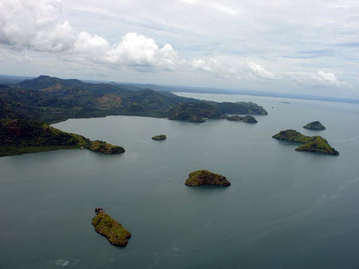
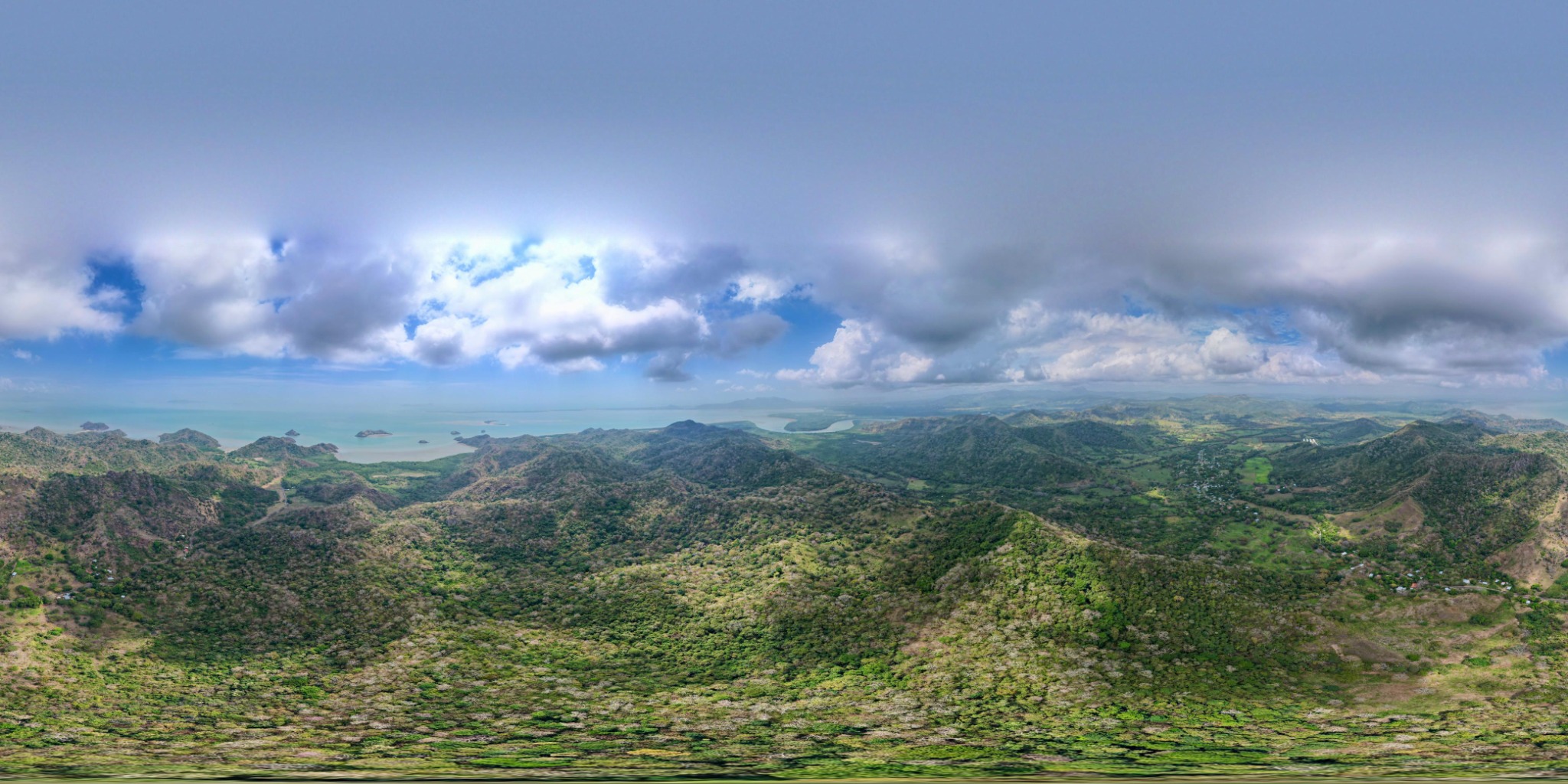
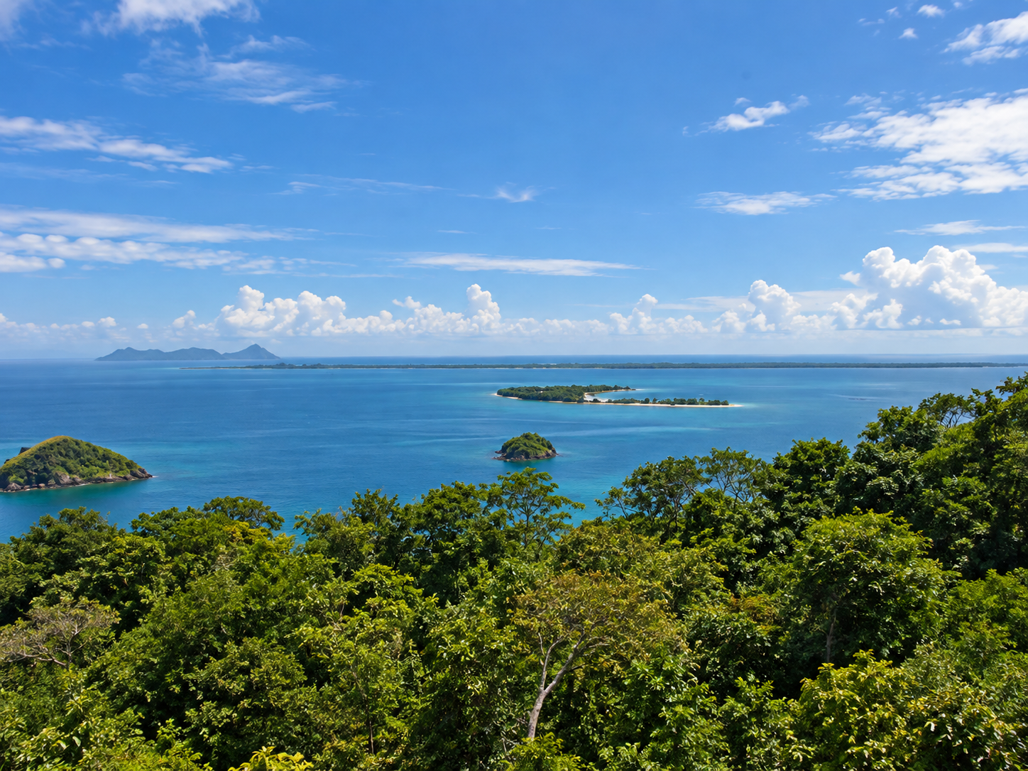
Approximately 550 hectares of elevated coastal land with panoramic views across Bahía de Chame, offshore islands and surrounding mountains.
Ocean Ranches Panama combines scale, varied topography, natural plateaus, coastal and mountain views, improving on-site access and strong cellular coverage in a quiet rural setting near Bahía de Chame.
A short on-site introduction, followed by the land, access and regional context.
From upper elevations, the property offers broad view corridors toward Bahía de Chame, offshore islands, the Pacific horizon, mountain ridges, valleys and river/estuary systems.
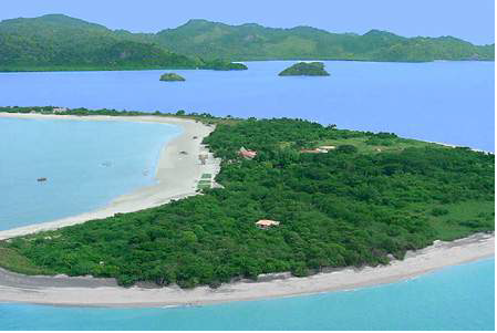
Isla Taborcillo—widely known as John Wayne Island—is a distinctive offshore landmark visible in the property's coastal viewscape. In the reference image, the island sits in the foreground with the Ocean Ranches Panama landholding rising beyond.


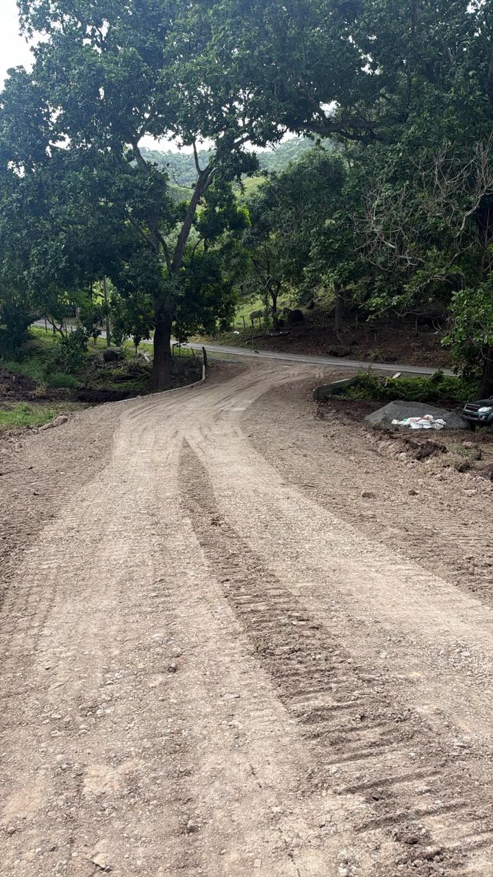
The approach from the Capira/Cermeño corridor follows a paved rural road. Closer to the property, mature canopy trees create a shaded and memorable arrival sequence. Ownership has also invested in new internal/service-road work and a gated entrance.

Scenic rural drive from the Capira/Cermeño corridor, transitioning into mature tree canopy near the property.
Strong cellular coverage has been observed at the property, supporting visits, operations and future development activity.
A small traditional fishing village with only a handful of homes lies at the end of the road, reinforcing the area's quiet coastal character.
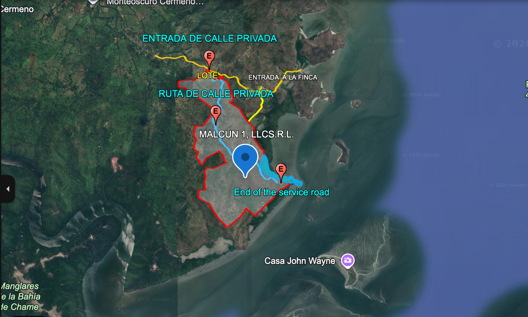
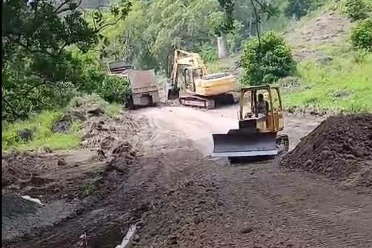
The internal/service road is an important on-site improvement. The materials below show the service-road alignment, the route near the gate/main road, the coastal edge / beach area and a real plateau area on the property.

Owner-provided annotated map showing the private-road entrance, route of the private/service road, the lot area and the end of the service road.

Actual view of the improved approach near the front-gate area, showing the character of the arrival sequence.
Pan, zoom and explore the topographic access map. This is the original integrated access map created before the service-road overlay was added.
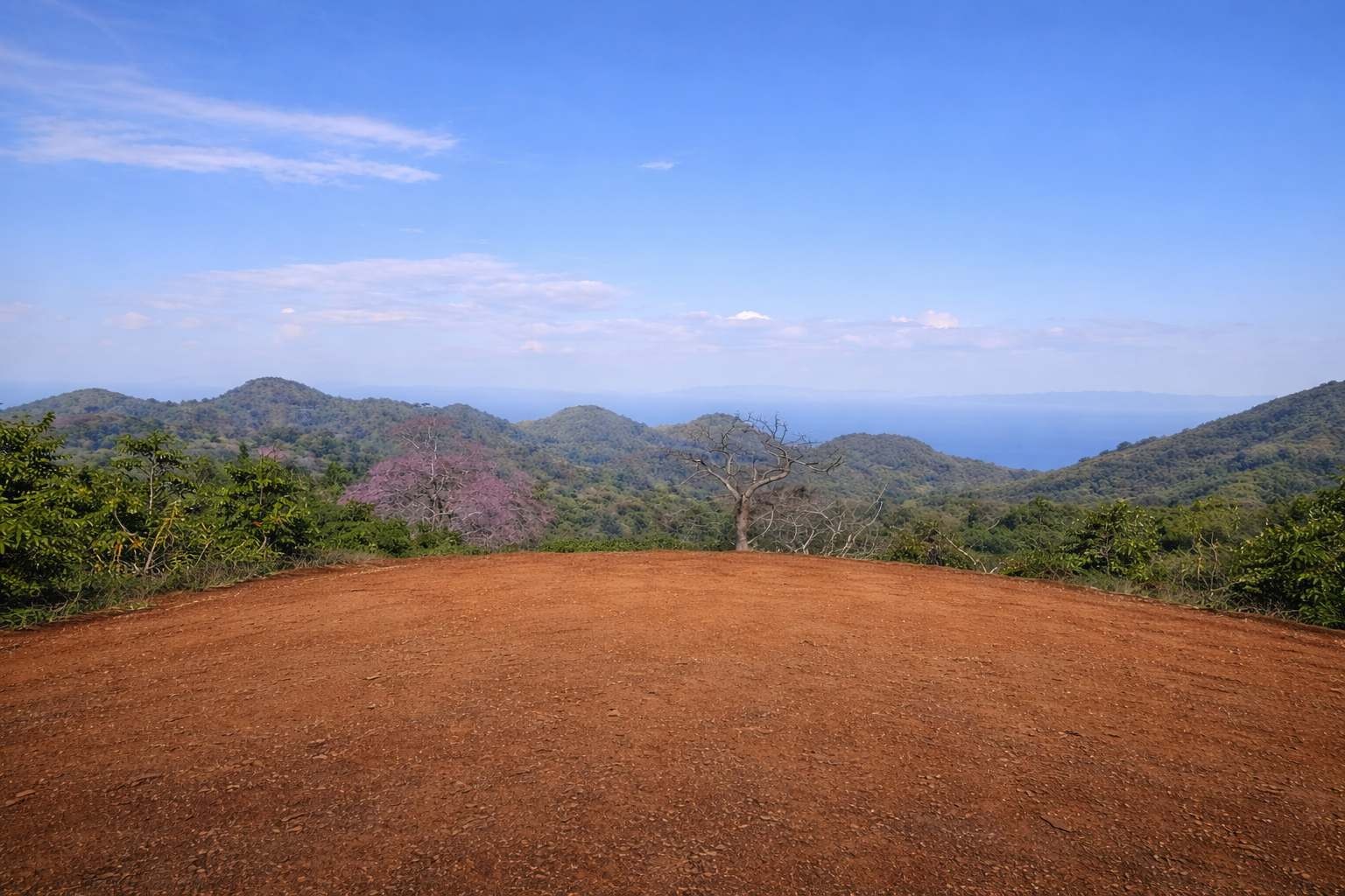
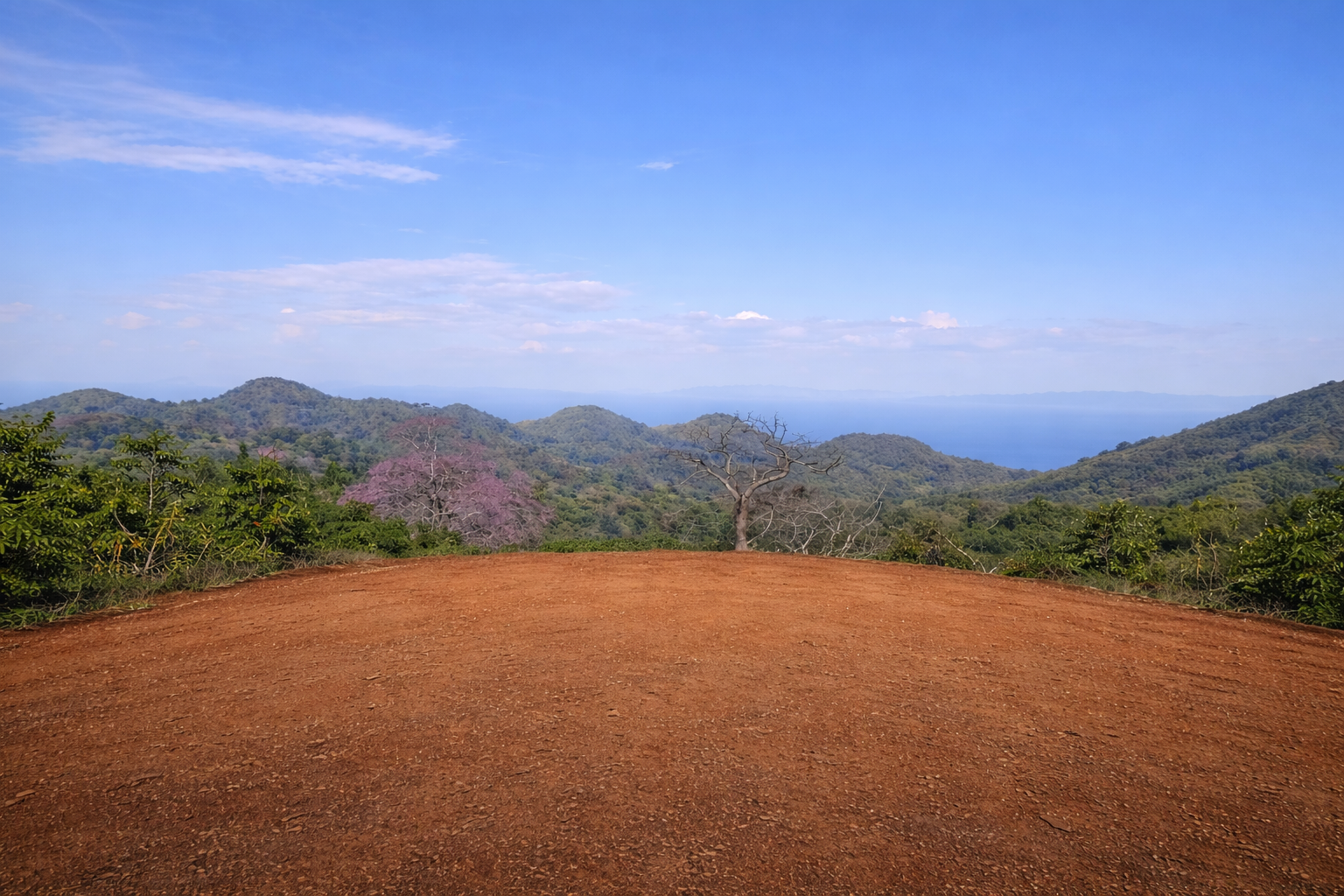
The site's varied terrain creates multiple distinct environments—from elevated ridgelines and natural plateaus to wooded slopes, valleys and open areas—providing flexibility for a range of future concepts, subject to approvals and engineering.

This actual still from the property helps confirm the existence of open plateau terrain on the site and complements the illustrative plateau imagery above.
Panamá Oeste is benefiting from substantial transportation investment. These projects do not run through Ocean Ranches Panama, but they improve the broader westbound corridor and regional connectivity.
Official MOP project documents provide for a six-lane Pan-American section and a Capira variant/interchange program through Panamá Oeste.
In 2026, the government issued the order to proceed for approximately 192 km from Loma Campana to Santiago, with stated investment of B/.312 million.
Metro Line 3 is a regional connectivity project for Panamá Oeste. Government reporting in June 2026 placed progress at 77%, with operation targeted for 2028.
The new bridge is intended to increase road capacity between Panama City and Panamá Oeste and reduce pressure on existing crossings.
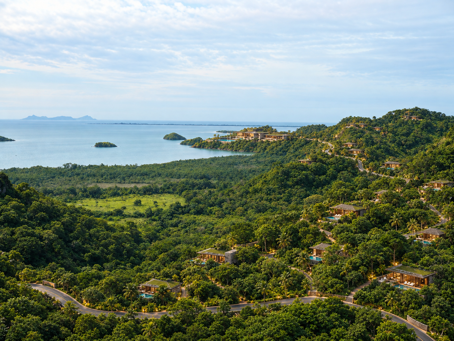
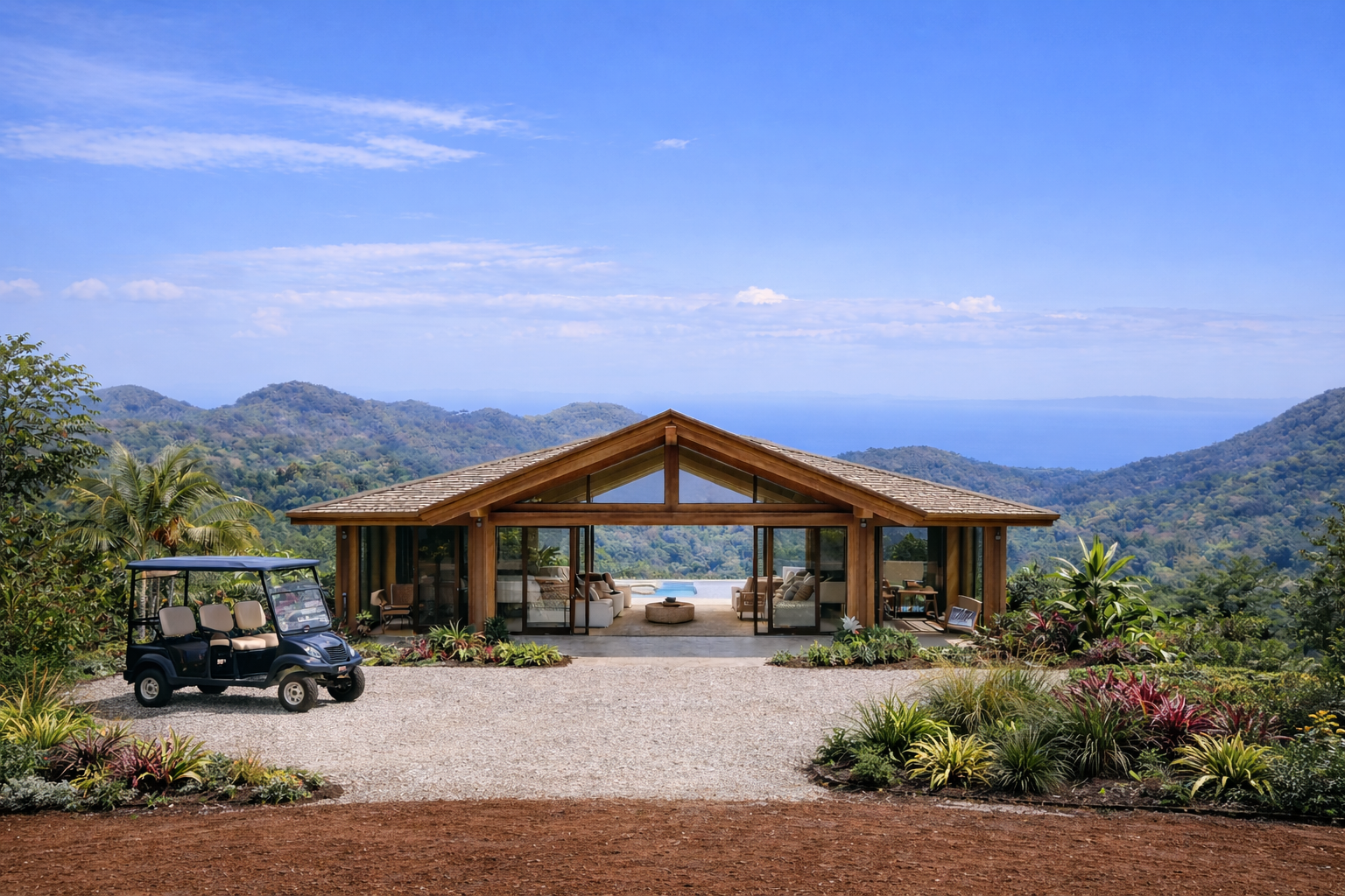
The property's scale and natural setting may support multiple long-term concepts. The images below are conceptual only and are not approved plans or existing improvements.

Retreat, nature, wellness or low-density hospitality concepts.

Private estates, branded residences or a low-density residential community.

Conservation-oriented planning, recreation and long-term land-banking strategies.
Marketing statements distinguish neighborhood availability from utility service across the entire 550 hectares. Final buyer due diligence should confirm exact location, capacity and availability of each utility to the property.
The neighborhood report also references underground electricity and electric layout. Final buyer due diligence should confirm the exact location, capacity and availability of each utility to the property.
Property information indicates the surrounding rural/residential area has access to basic infrastructure. Final capacity and service availability should be independently verified as part of buyer due diligence.
Asphalt access is identified in the property information, with a scenic paved approach from the Capira/Cermeño corridor.
Electric service and rural water/aqueduct infrastructure are identified in the surrounding area.
Strong cellular coverage has been observed at the property.
Marketing information should be independently verified. Distances are approximate unless stated otherwise. Conceptual and AI-enhanced images are expressly labeled.
A large-scale coastal and mountain-view landholding with improving access, significant natural character and long-term potential.